
MILESTONES OF E.I. PANKOVA’S RESEARCH OF SALT SOILS
Yamnova I.A. MILESTONES OF E.I. PANKOVA’S RESEARCH OF SALT SOILS // Ecosystems: Ecology and Dynamic. No. 2. 2022. P. 5-71. | Abstract | PDF | Reference |
-

- E.I. Pankova

-

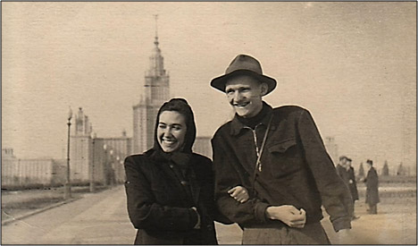
- E.I. Pankova and I.S. Mikhailov on a community work day in 1953; the Moscow State University building under construction can be seen behind them
-

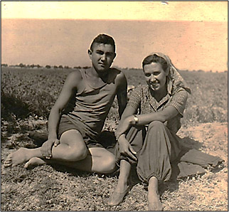
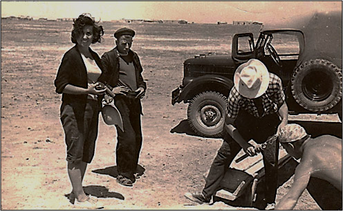
- On the expedition to Central Asia, 1954
-

- On the expedition to Central Asia, 1954

-

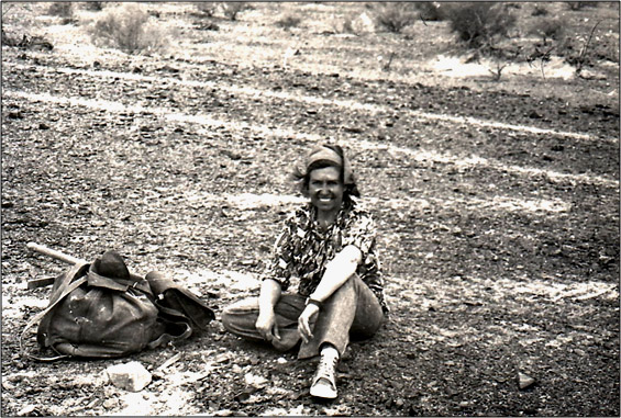
- E.I. Pankova on her first expedition to Eastern Siberia, 1956

-

- E.I. Pankova on an expedition to Eastern Mongolia, 1960
-

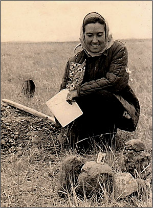
- E.I. Pankova on an expedition to the Mirzachoʻl Steppe (Uzbekistan), 1967
-

- E.I. Pankova on an expedition to the Gobi Desert (Mongolia), 1978
-

- Evgenia Ivanovna Pankova (third from the left) and Natalia Ivanovna Bazilevich (second from the left) at the conference in Cairo (Egypt), 1972

-

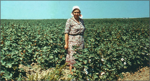
- E.I. Pankova on a cotton field in the Mirzachoʻl Steppe (Uzbekistan), 1985
-

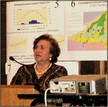
- E.I. Pankova at the meeting of the Academic Council at V.V. Dokuchaev Soil Institute

-

- E.I. Pankova at the Faculty of Geography of M.V. Lomonosov Moscow State University
This article is dedicated to the career of the soil scientists and geographer, Evgeniya Ivanovna Pankova, who has been studying genesis, geography and evolution of saline soils her entire life. She graduated from the Moscow State University, Faculty of Geography, under the supervision of M.A. Glazovskaya, who inspired her love for arid soils. Six years of work at the Giprovodhoz Institute that included a lot of expeditions to Eastern Siberia, Moldova, Azerbaijan and Mongolia, gave E.I. Pankova a precious experience in the field of ameliorative soil science. After finishing her postgraduate study and completing her PhD thesis, from 1964 to the present day Evgenia Ivanovna has been working in the Department of the Genesis and Reclamation of Saline Soils at V.V. Dokuchaev Soil Institute. E.I. Pankova is the leading scientist of the Soil Institute. For many years she has been developing main areas of soil science, related to geography, genesis, cartography and classification of saline soils in arid regions of Russia and the countries of Central and Central Asia, as well as Mongolia and China. One of the most significant discoveries in her doctoral thesis was the conclusion E.I. Pankova made about the manifestation and inevitability of salt accumulation process in the hydromorphic landscapes of arid territories, especially during irrigation. Her work with N.I. Bazilevich resulted in creation of methodological guidelines for saline soils accounting, as well as maps of chemism types of soil salinity; they are widely used for scientific and practical purposes. E.I. Pankova is one of the founders of a remote method for studying soil salinity. She made a great contribution to the study of anthropogenic impact on geography, genesis and evolution of saline soils. E.I. Pankova is the author and executive editor of the monograph “Saline Soils of Russia”, which is the first major and generalized work on the soil salinization in Russia. Scientific activities of E.I. Pankova are recognized worldwide; she is a member of the International Society of Soil Scientists, the European Society for Soil Conservation. She is the founder of a scientific school that studies and maps saline soils. She has published more than 300 works, including 7 monographs.
Keywords: soil scientists, E.I. Pankova, saline soils, science contribution.
DOI: 10.24412/2542-2006-2022-2-5-71
EDN: BWNKHV
INTEGRATED METHODOLOGY AND ITS APPLICATION FOR ASSESSING THE PROTECTION OF GROUND AND CONFINED SUBTERRANEAN WATERS FROM VARIOUS POLLUTANTS AND THEIR VULNERABILITY TO POLLUTION IN THE KALUGA REGION IN THE RADIOACTIVE TRACE FROM THE ACCIDENT AT THE CHERNOBYL NPP
Belousova A.P., Rudenko E.E. Integrated Methodology for Assessing the Protection Degree of Ground and Confined Subterranean Water from Different Pollutants as Well as Their Vulnerability to Pollution and Its Application in the Kaluga Region in the Radioactive Trace from the Accident at the Chernobyl NPP // Ecosystems: Ecology and Dynamic. No. 2. 2022. P. 99-122. | Abstract | PDF | Reference |
-
- “Sosnovy Bor”, Kaluga (photo from https://vsegda-pomnim.com/)
-

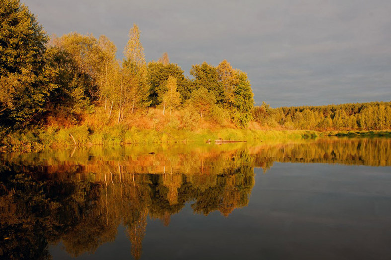
- Kaluga Region, a river near Kirov (photo from https://vsegda-pomnim.com/)
-

- “Sosnovy Bor”, Kaluga (photo from https://vsegda-pomnim.com/)
-

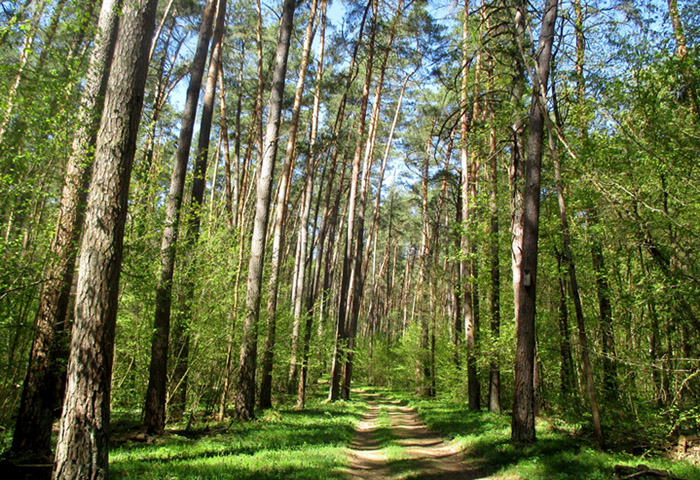
- “Kaluga Zaseki” National Park (photo from https://vsegda-pomnim.com/)
-

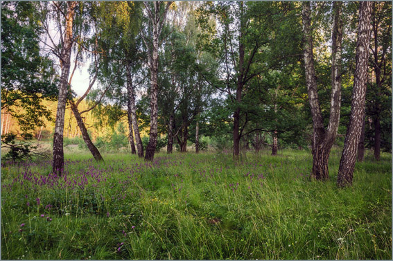
- Birches, Kaluga Region (photo from https://vsegda-pomnim.com/)
-

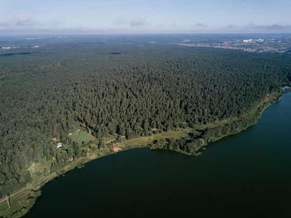
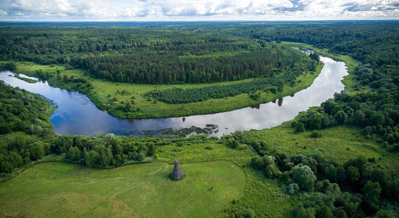
- Lake on the Zhizdra River, Kaluga Region (photo from https://vsegda-pomnim.com/)
-

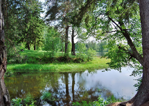
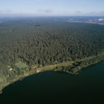
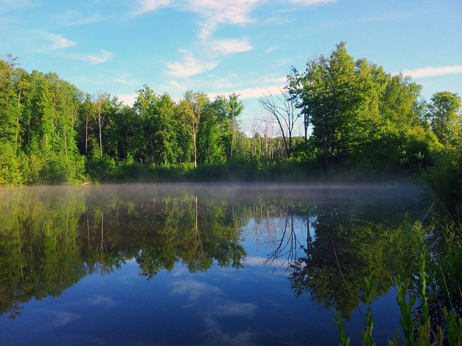
- Forest lake in Kaluga (photo from https://vsegda-pomnim.com/)
-

- “Ugra” National Park, Kaluga Region (photo from https://vsegda-pomnim.com/)
The object of our research is groundwater and confined subterranean waters in the territory of the Kaluga Region, most affected by the accident at the Chernobyl Nuclear Power Plant. Our aim was to develop a complex methodology to assess the level of protection and vulnerability of groundwater and confined subterranean water against various pollutants, including radionuclides.
The methodology was tested in the territory of the Kaluga Region, in its zone of the radioactive contamination zone from the Chernobyl Accident.
Our earlier studies that assessed protection and vulnerability of subterranean waters began almost immediately after the accident and were carried out according to the original methodology, developed by the authors of this article. They were fully focused on groundwater only or, more specifically, on the first aquifer under the ground surface. However, this research studies both groundwater and confined subterranean water, located below the groundwater aquifer.
Depending on the location of pollution source, two approaches are considered to solve our main aim. The first option involves a pollution source placed on the ground surface, the way it was observed right after the Chernobyl Accident. The second option involves a pollution source located directly in the groundwater or spreading over a large area, in which case the number of study objects decreases, and it becomes a specific case of the first option.
The results of our research and the methodology we offer for the further use can be applied for assessment of the ecological state of subterranean waters in different country territories, at different scales; for design and construction of fresh subterranean water intakes for drinking purposes; for design and organization of subterranean water monitoring in the areas affected by the Chernobyl Accident. The results of our research are new and significant for further studies.
Keywords: groundwater, subterranean confined water, pollutant, subterranean water protection from pollution, subterranean water vulnerability to pollution, radionuclides, sorption, migration period.
DOI: 10.24412/2542-2006-2022-2-99–122
EDN: CFVOIW
THE INTERNATIONAL SCIENTIFIC PROJECT ON ENVIRONMENTAL FLOW AS THE BASIS FOR ECOSYSTEM CONSERVATION
Dubinina V.G. The International Scientific Project on Environmental Flow as the Basis for Ecosystem Conservation // Ecosystems: Ecology and Dynamic. No. 2. 2022. P. 134-144. | Abstract | PDF | Reference |
-

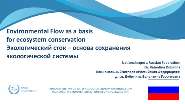
- V.G. Dubinina (Central Office for Fishery Expertise and Standards for the Conservation, Reproduction of Aquatic Biological Resources and Acclimatization) at the Regional meeting on the distribution of water resources and the assessment of transboundary environmental flow, September 22-23, 2020 (online participation), Nur-Sultan, Kazakhstan

-

- V.G. Dubinina’s report (Central Office for Fishery Expertise and Standards for the Conservation, Reproduction of Aquatic Biological Resources and Acclimatization) at the Regional meeting, September 22-23, 2020
-

- All-Russian Scientific and Practical Conference with international participation “Transboundary Water Bodies: Use, Management, Protection”, September 20-25, 2021, Sochi. First row, from left to right: M.V. Bolgov (Water Problems Institute of RAS), V.G. Dubinina (Central Office for Fishery Expertise and Standards for the Conservation, Reproduction of Aquatic Biological Resources and Acclimatization), K.S. Topilina (Russian Information-Analytical and Research Water Management Center)
-

- All-Russian Scientific and Practical Conference with international participation “Transboundary Water Bodies: Use, Management, Protection”, September 20-25, 2021, Sochi

The article provides information about the international project “Environmental Flow as the Basis for Ecosystem Conservation”. The project was implemented with the support of the Government of Kazakhstan, in cooperation with the Secretariat of the UN Water Convention and participation of the Central Asian countries. The article overviews the management features of the transboundary water bodies of Central Asia and focuses on the problem of accounting for environmental flow, which is important for ecosystem conservation. It describes the methodological approaches to determining the volume of acceptable irretrievable water withdrawal and establishing the environmental flow (discharge), formulated by the Russian and Kazakh participants. It also describes the studies that were carried out by the project participants on the transboundary rivers of their countries. Based on the results, the recommendations for the conservation and restoration of freshwater ecosystems of transboundary rivers are given.
Keywords: intergovernmental agreements, transboundary rivers, water sharing, environmental flow, acceptable irretrievable water withdrawal, freshwater ecosystem conservation.
DOI: 10.24412/2542-2006-2022-2-134-144
EDN: GICGBT
HOW DOES ELEVATION ABOVE SEA LEVEL AFFECT THE MORPHOMETRIC GROWTH OF PINUS NIGRA IN MONTENEGRO
Korol S.O., Korol T.O., Golubeva E.I. How Does Elevation above Sea Level Affect the Morphometric Growth of Pinus Nigra in Montenegro // Ecosystems: Ecology and Dynamic. No. 2 2022. P. 164-181. | Abstract | PDF | Reference |
-
- Gorazda, point 3
-
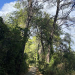
- Ivanovo Korito, point 7

-
- Ivanovo Korito, point 7
-
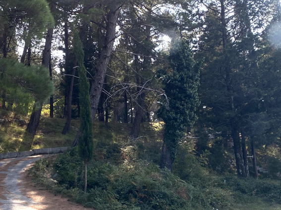
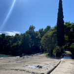
- Plavi Horizonti, point 1
-
- Plavi Horizonti, point 1

Montenegro belongs to the Mediterranean climate zone, but due to the presence of high mountain ranges on a fairly limited territory, there is a multitude of microclimatic varieties: in the coastal part there is a zone of pronounced Mediterranean climate; in the flatland part of the country the climate is a changed Mediterranean; in mountainous areas – a zone of severe mountain climate with cold long winters. In the diversity of the flora of this region, an important place is occupied by the Black Pine (Pinus nigra), which grows both in the mountainous parts and in the valleys and, according to some versions, gave the country its name. It is of interest to analyze the variability of the morphometric parameters of this plant species depending on the growing conditions.
This study is based on the establishment of a field practice in biogeography in the summer of 2021, held in Montenegro. The aim of the work was to determine the dependence of modification changes in Black Pine on the height of growth above sea level according to the following indicators: tree height, crown diameter, trunk diameter, and needle length. Measurements of adult representatives of Pinus nigra were taken at 8 recorded sites located at different heights above sea level, starting from the minimum coastal line of the sea (12.5 m) to the maximum growth height of Pinus nigra in Montenegro (1270.1 m) in the mountains. At each point, 10 mature trees were selected, visually reflecting the most common morphometric indicators for each selected high-altitude plateau with uniform growing conditions (flat surface, slope orientation, central part of the tree mass, forest stand density).
The results of measurements and statistical analysis established a significant negative correlation between height above sea level and morphometric growth rates of Pinus nigra.
Keywords: Montenegro, Pinus nigra, Black pine, vegetation of Montenegro, flora of Montenegro, habitats of Black pine, habitats of Pinus nigra, altitudinal zonality, modification variability of Pinus nigra.
DOI: 10.24412/2542-2006-2022-2-164–181
EDN: QWBKDZ