Ulanova S.S. Water Resources of the Republic of Kalmykia: Their Current State and Usage // Ecosystems: ecology and dynamics. No 4. 2023. P. 29-58. | Abstract | PDF | Reference
-

-
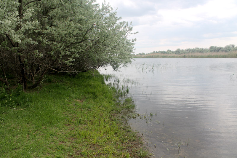
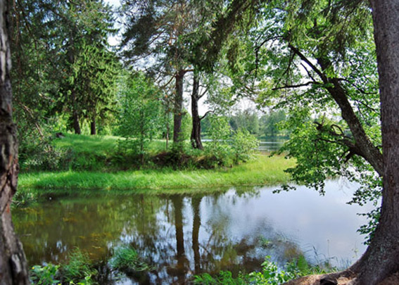
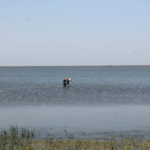
Arshan-Zelmen River in the transient zone of the Arshan-Zelmen Reservoir, May 2023 (photo by N.L.Fedorova)
-

-
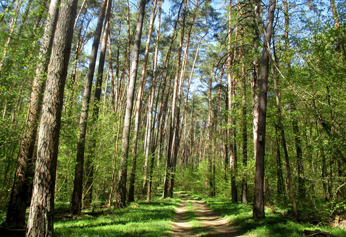
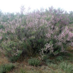
Ravine forests along the bed of the Arshan-Zelmen River, May 2023 (photo by D.M.Arilov)
-

-
Fill dam in the Ded-Khulsun Reservoir, May 2023 (photo by N.L.Fedorova)
-
-
Water sampling at the Ded-Khulsun Reservoir, May 2023 (photo by S.S.Ulanova)
-

-
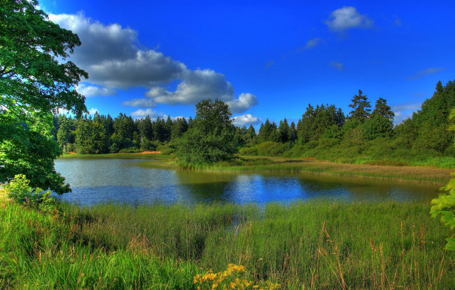
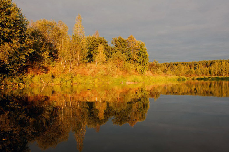
Keltrikan Reservoir, May 2023 (photo by S.S.Ulanova)
-

-
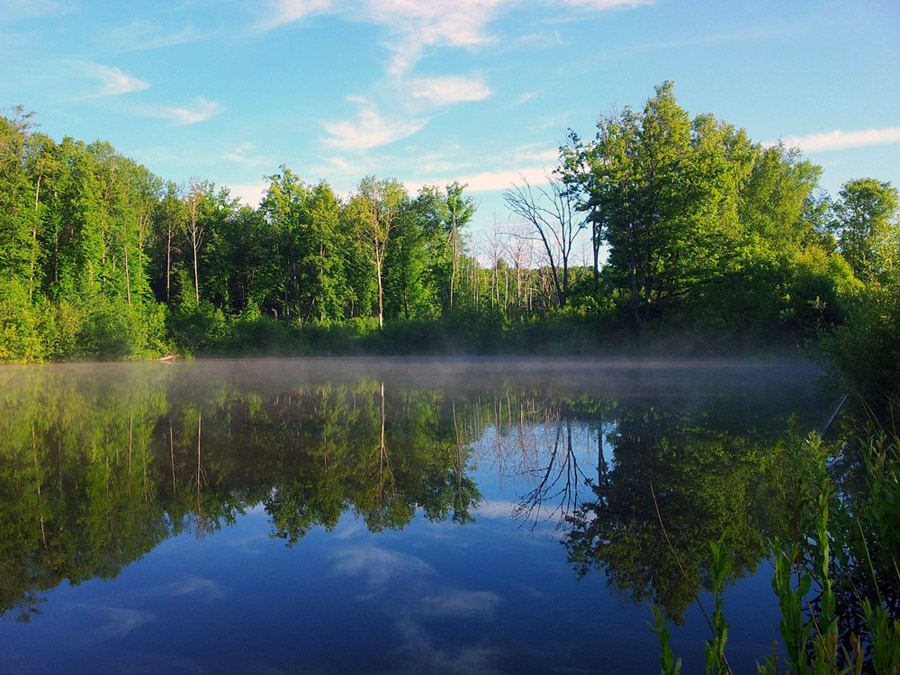
Keltrikan Reservoir, May 2023 (photo by S.S.Ulanova)
-
-
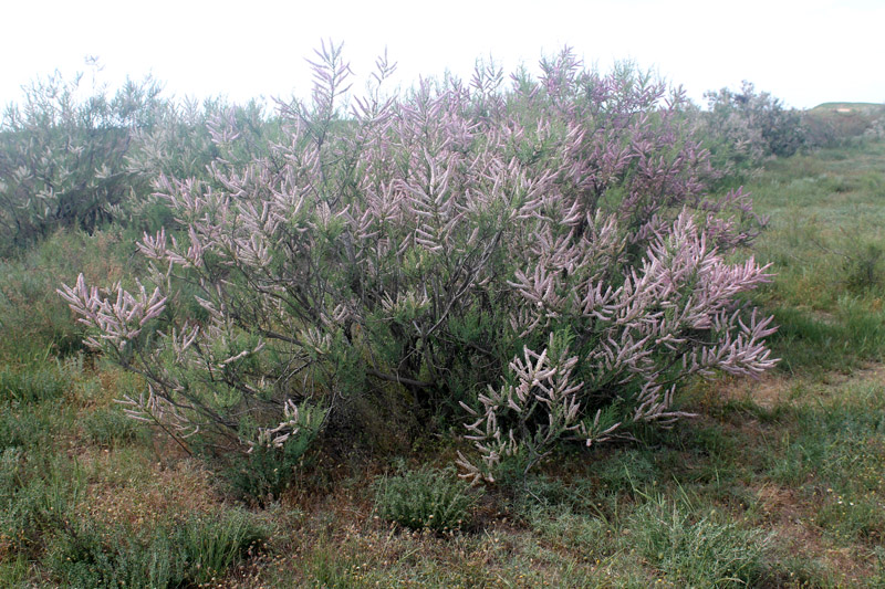
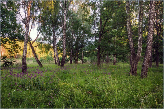
Tamarix octandra at the Kirkita Reservoir, May 2023 (photo by N.L.Fedorova)
-

-
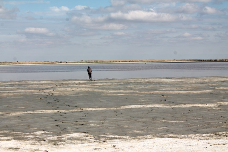
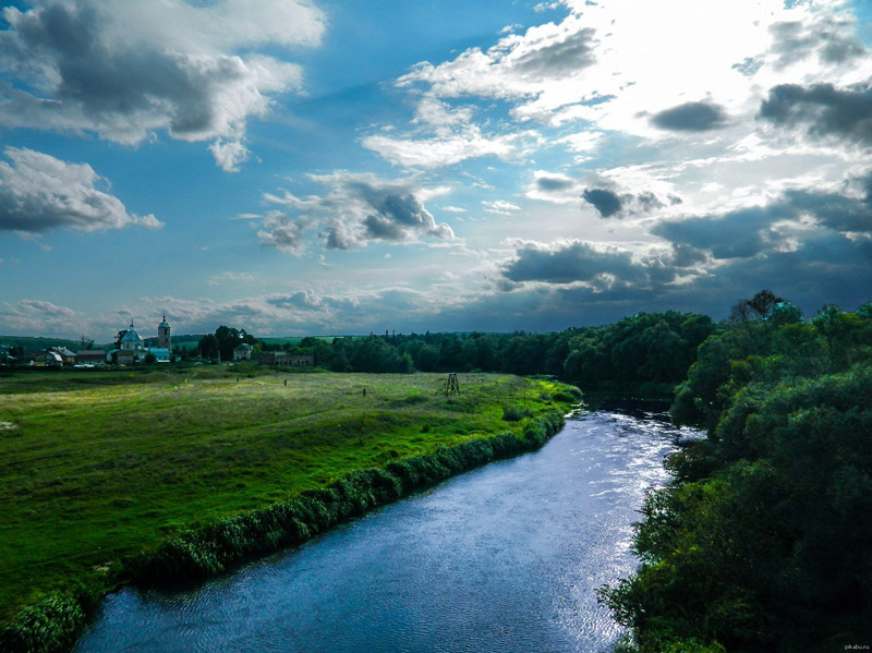
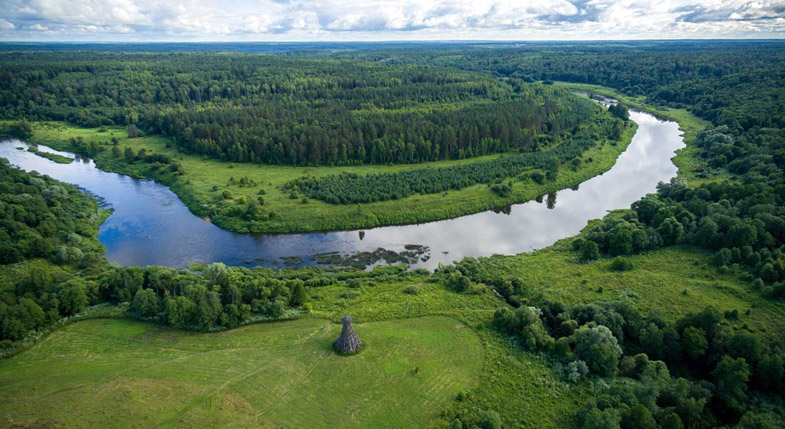
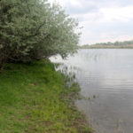
Central part of the southern coast of the Krasinskoye Reservoir, May 2023 (photo by N.L.Fedorova)
-

-
Water sampling at the Krasinskoye Reservoir, May 2023 (photo by N.L.Fedorova)
-

-
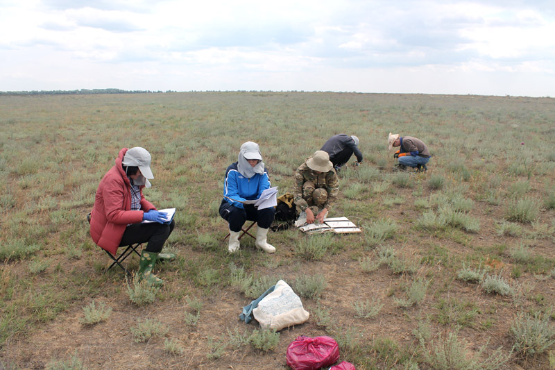
Plant sampling in the influence zone of the Krasinskoye Reservoir, May 2023 (photo by N.L.Fedorova)
-

-
Soil profiles at the Krasinskoye Reservoir, May 2023 (photo by N.L.Fedorova)
-
-
Transient zone on the northern coast of the Krasinskoye Reservoir, May 2023 (photo by S.S.Ulanova)
-
-
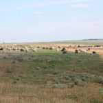
Chogray Reservoir, “Chogray-baza” key area, May 2023 (photo by S.S.Ulanova)
-

-
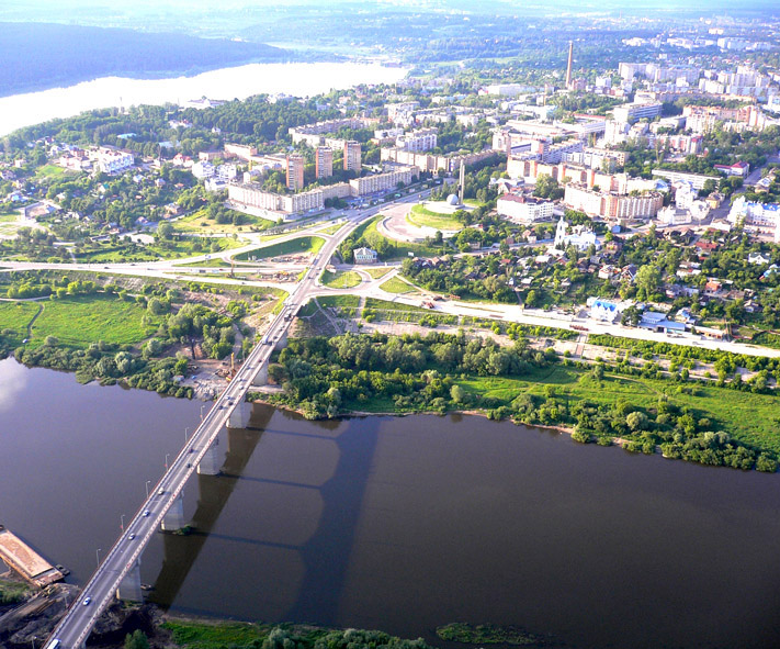
Dam of the Chograi Reservoir, September 2018 (photo by S.S.Ulanova)
-

-
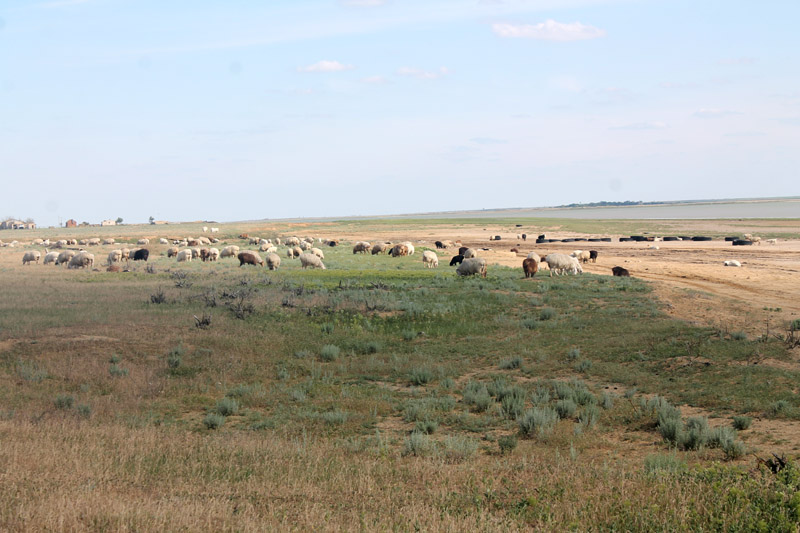
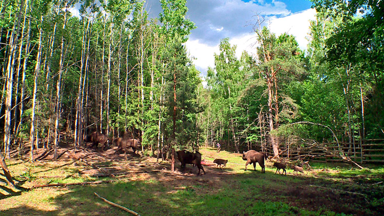
Field team of the Kalmykian Institute for Complex Studies of Arid Territories at the Kirkita Reservoir (Sostinsky water bodies), September 2022 (photo by D.M.Arilov)
The Republic of Kalmykia is the driest region in the south-east of the European part of Russia. It has the lowest water resources among the other subjects of Russia. In this paper, we characterize its water resources, their distribution over the territory through the natural and artificial hydrographic network of channels and irrigation systems, and we also consider the use of artificial river runoff and their water quality. The framework for this research is the database to the “Water Management Map of the Republic of Kalmykia” (2003) that the author of this article has compiled and continues to update with the materials of remote sensing and statistical books on Russian water resources and water management (2000-2019), as well as with the long-term geo-ecological monitoring of key water bodies of Kalmykia, carried out in the Department of Environmental Studies of the Kalmykian Institute for Complex Studies of Arid Territories.
Analysis of the Water Management Map revealed that the hydrographic network of the republic that consists of 137 rivers with a total length of 4007.9 km and a density of 0.05 km/km2 is poorly developed. They are part of the basins of Azov and Caspian Seas, and most of them are low rivers (0.5-1.0 l/s), belonging to the drainless areas of the West Caspian basin. The total area of the drainless territory is 49.2 thousand km². As of now, there are 314 water bodies in Kalmykia, of which 256 are artificially created (121 ponds, 135 reservoirs), 43 are small rivers and 15 are lakes. The artificial origin of most water bodies can be explained by the need for seasonal and long-term regulation of the river runoff for agricultural use. Although each water body has its own unique features, all of them suffer under instability of hydrological and hydrochemical regimes, sharp changes in water salinity due to the amount of incoming runoff every year/season, severe siltation, poor flora and fauna.
Depending on their geographical location, artificial water bodies can be divided into 3 groups: group in the Caspian Lowland, in the Yergeni Upland, and in the Kumo-Manych Depression. The reservoirs with the smallest water table (0.011 to 5.84 km2) are located in the Yergeni Upland, while in the Caspian Lowland, their size varies from 0.087 to 51.54 km2. The largest artificial reservoirs are located in the Kumo-Manych Depression, with the maximum values equal to 782.99 km2 and the minimum values reaching 0.02 km2.
Qualitative analysis showed that water of almost every Kalmykian water body is either salty or very salty, and average long-term values of surface water mineralization varies from 1.7 to 10.5 g/l. Regarding their hydrological regime, for the most part they suffer due to unstable water volume, water table, water level and mineralization, as well as high evaporation, slow water exchange, poor flowage and, as a result of hot climate conditions, high accumulation of chemical and toxic substances.
Taking into account the limited and unstable, still forming water resources of Kalmykia, our calculations showed that the average annual runoff volume is 1.64 km3/year, while the potential water supply of one resident is 5.61 thousand m3/year. The local surface water is available, but is far from being suitable for water supply; the local groundwater is highly mineralized for the most part, and people use it for drinking and cooking without any additional treatment. To date, the existing capacities and technologies of water treatment facilities in the republic cannot provide a so much needed protection from water pollution, which is constantly growing, while the adequate measures for water treatment remain insufficient and lacking. Annual water consumption from private sources reaches 50 million m3. The water shortage in the Kalmykian economy is somewhat covered by the outside sources: 700-750 million m3/year of drinking water for people, livestock and irrigation are brought into the republic from the neighboring territories and the basins of the Volga, Kuma and Terek rivers.
In order to provide water for production, agricultural and social needs and to prevent its negative effects, Kalmykia had been constructing a water management complex from 1937 to 1972, which now includes:
- 3 pasture pipelines with a total length of 1,200 km;
- Chograi reservoir and Chograi discharge canal;
- protective dam guarding the town of Lagan;
- more than 300 ponds and small reservoirs for utilization of local runoff, which were built mainly by economic means;
- more than 2,000 groundwater wells;
- 5 irrigation systems that cover 124.5 thousand ha of land.
We analyzed some literary sources (Borodychev et al., 2016; Ovchinnikov et al., 2015, 2016; Shumova, 2021) to find out that the total length of the main irrigation network in Kalmykia is 1,137 km, and the length of the discharge network is 633 km. From 2010 to 2018, the area of irrigated agricultural lands there remained unchanged, equal to 48.3 thousand ha. However, their condition over 2005-2018 was assessed as good in 2-4% of cases, as satisfactory in 24-29%, and as unsatisfactory in 68-73%. The level of water mineralization in the irrigation and drainage systems varies from 0.3 to 2.0 g/l depending on the chemical composition. The total annual fresh water withdrawal limits are 1253.5 million m3, but at present only 600 million m3 is actually being withdrawn. In the mid-1990s, up to 60% of this volume was used for irrigation in the total area of 170 thousand ha; these days, the irrigated area has decreased to 42 thousand, which, in its turn, lowered water consumption from 700 to 150-200 million m3.
A major fault of the existing network of water canals is its unprotected riverbed that was formed in the bare ground which causes significant water losses, especially when the riverbed is formed on light soils. In addition, it provokes a secondary salinization, alkalinization, flooding and waterlogging. Moreover, conditions of strong evaporation cause even more losses during transportation; e.g., in 2020 it amounted to 106.19 million m3. At the same time, modern technologies in water use are barely applied in the republic: the volume of water in the recycling and re-sequential systems is insignificant, amounting to 0.17 million m3.
The main problem of irrigation and amelioration of Kalmykian pastures is technical deterioration of the overall systems that haven’t been rebuilt since their launch in 1960-1980s, as well as the lack of sufficient financial support to cover electricity of the pumping stations. Therefore, we present the following solutions as the priority measures for water supply and economic development of the Republic of Kalmykia. These solutions should be carried out step by step, systematically and differently depending on the peculiarities of each region of Kalmykia. For example, to ameliorate its northern regions, such as Oktyabrsky, Maloderbetovsky and Ketchenerovsky Administrative Districts, it is necessary to resume water supply from the Volga River using waterways. However, to make it possible, the dam near Charlakta settlement must be restored since it was completely destroyed in violation of all laws during construction of the gas pipeline between Evdyk and Tsagan-Nur settlements. This would fill the southern part of Sarpinsky reservoirs, i.e. the Sarpa Reservoir. In the south-east, it is possible to use the North-West Caspian Sea, the low mineralization of which can be treated to supply water to the Lagansky and Chernozemelsky Districts. In the south, it is necessary to finally complete the slacking reconstruction of the Levokumsk Hydraulic System and the repair of the dam, and then fill the Chograi Reservoir and launch the Chernozemelsk Irrigation System.
It is also necessary to reconstruct irrigation systems in order to reduce water losses during its transportation and use on fields. The large-scale geological exploration of groundwater (searches, explorations and reserves re-evaluation) should be resumed as well within the North Caspian and the Yergeni groundwater basins in order to restore the operation of groundwater wells.
Keywords: surface water, groundwater, irrigation system, Republic of Kalmykia, water reserves, water volume, water quality, current state of water resources, water management.
Funding. This work was supported by the Russian Science Foundation, grant No. 23-27-10017 “Geo-ecological Assessment of Water Bodies of the Republic of Kalmykia and Adjacent Territories.”
DOI: 10.24412/2542-2006-2023-4-29-58
EDN: JPJWCD