
Bazha S.N , Andreev A.V., Bogdanov E.A., Danzhalova E.V., Drobyshev Yu.I., Petukhov I.A., Rupyshev Yu.A. Ecosystems of the Baikal Basin: Digital Map and Geoinformation Database // Ecosystems: Ecology and Dynamics. No. 3. 2022. P. 120-171. | Abstract | PDF | Reference |
-

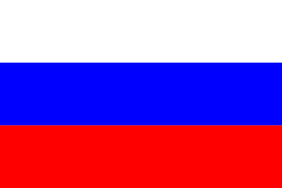
- Baikal Lake in Buryatia (all photos are provided by the authors)

-

- Barguzin Range

-

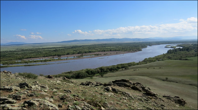
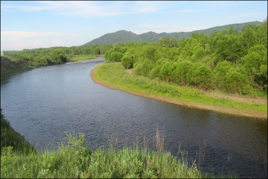
- The Selenga River near the Russian-Mongolian border
-

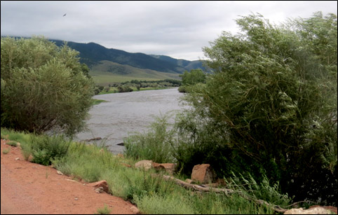
- The Delger-Muren River in its middle reaches
-

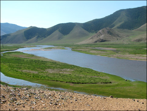
- The Ider River at the foot of the Tarbagatai Ridge
-

- Khuvsgul Lake

-

- The Zelter River
-

- The tectogenic canyon of the Orkhon River

-

- Kobresia meadows in the Khangai Mountains

-

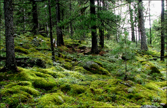
- Larch-cedar forest on the slope near the Jargalant Ridge top (Northeastern Khangai Mountains)
-

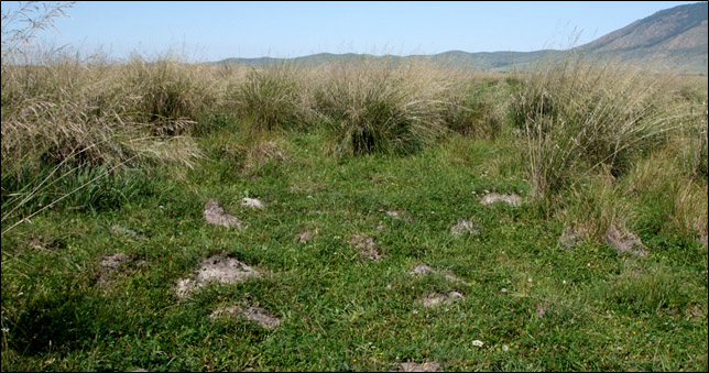
- Leymus-halophytic-herb-Stipa splendens solonchak meadow on the terrace floodplain of the Orkhon River
-

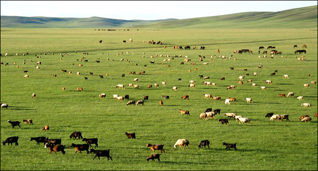
- Foothill pastures in the eastern Khangai Region (Tevshrulekh somon)
The digital map “Ecosystems of the Baikal Lake Basin” (scale 1:500000) was compiled by deciphering the actual satellite imagery, while using the previously created materials of thematic mapping of various scales, obtained for different territories within the basin, as well as the authors’ field descriptions of ecosystems and vegetation. The map shows composition, structure, current state of terrestrial ecosystems, and new areas of anthropogenic ecosystems that have greatly expanded in comparison with the mapping data of previous years. The legend of the map includes 71 samples of ecosystems, which correspond to the landscape units “stow/sub-stow”.
To display the spatial variability of the natural components of ecosystems, the corresponding digital layer maps (combined GIS) were developed for morphogenetic types of relief, soil cover and vegetation of the basin, developed on the basis of interpolation of various published thematic data and supplemented with information from archives and materials from more than 50 years of field study of soils and vegetation cover by the Joint Russian-Mongolian Complex Biological Expedition of the Russian Academy of Sciences and the Academy of Sciences of Mongolia (JRMCBE).
The created spatial database of 5.1 GB is a cartographic Web service. It is intended for open use on any personal computers, workstations, laptops, tablets, smartphones running Windows and Android, including mobile ones with Internet access. The database includes spatial information on ecosystems and their anthropogenic disturbance on 9 model polygons (1:200000 and larger scales) and 9 key areas (1:5000 to 1:10000 scales), as well as from 1757 geobotanical descriptions.
Keywords:S.N. Bazha, A.V. Andreev, E.A. Bogdanov, E.V. Danzhalova, Yu.I. Drobyshev, I.A. Petukhov, Yu.A. Rupyshev. Ecosystems of the Baikal Basin: Digital Map and Geoinformation Database // Ecosystems: Ecology and Dynamics. No. 3. 2022. P. 120-171..
DOI: 10.24412/2542-2006-2022-3-120-171
EDN: FZDSSD
